One of the most important parts of any hike or backpacking adventure is your Pre-Trip Planning. Planning will help ensure your trip goes smoothly, and will allow you to account for any dangers that you may face on your adventure.
Here are the first things I do before planning any hiking trip.
- I analyze what the weather conditions, environmental conditions, and route conditions will be like.
- I think about the possible threats and dangers I may face on my trip.
- I come up with a plan to deal with any obstacles that I may encounter on my trip.
Hiking Gear Considerations
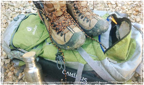
The gear I choose is directly related to my pre-trip planning. By analyzing what conditions and obstacles I will likely face, I can then start to put together a bag that will compliment my skills, and keep me safe in the face of any potential dangers.
Route Considerations
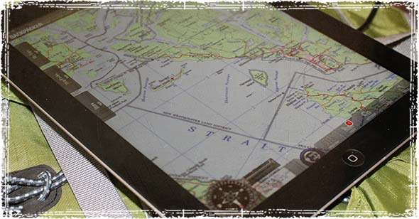
- What water sources are along my planned route? This will tell me how much water I need to carry, how many water bottles I need to pack, and what type of filtration system I should carry.
- What are the average temperatures and weather patterns that I can expect along my route? This will tell me what type of clothing, shelter, and weather related gear I need to pack.
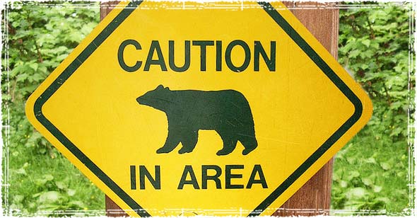
- What threats might I face along the route? This can be anything from route related dangers (extreme climbs, flash flooding, avalanche dangers, difficult terrain, etc.) to wilderness dangers like wild animals or poisonous insects. By knowing what threats I’m likely to face, I can get a better idea of what precautions to take, and what type of gear is necessary.
Communication & Navigational Considerations
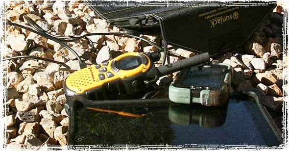
- How well do I know the route? Have I traveled this route before, or do I need to take extra time before my trip to study Topographical maps? This is also where I decide what navigational items I need to take, such as extra TOPO route maps, GPS devices, pacing beads, a compass, etc…
- How can I communicate to the outside world during an emergency? Are there portions of the route where cell service will be unavailable? Do route conditions warrant bringing another form of emergency communication such as a shortwave transmitter?
Intelligence & Recon
- Are there sources of information that I can obtain about my route before I leave? This can be everything from trail associations websites and guidebooks, to online forums, hiking clubs, and historical data.
- Are there experts that you can consult before setting out? This can include park rangers, search and rescue experts, or other hikers that have first-hand knowledge of your route. This is invaluable knowledge that can help you avoid the pitfalls and dangers associated with your planned route.
By taking the time to plan out your routes, you give yourself a much better chance of staying safe when facing dangers on your trip.

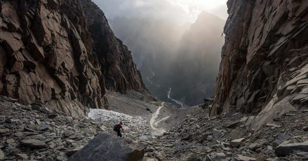

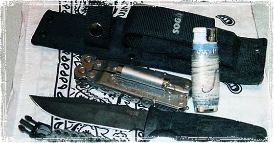
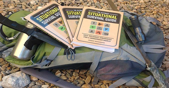
Making plans for any backpacking trip is essential, however, the weather can change before and during your trip. Do not worry, continue on with your trip as planned simply because it will help condition you for changes that could occur in a SHTF scenario. Do you think a SHTF situation will only occur during the best of conditions? Regardless the weather, go on your trip as planned; it will only better prepare you for an actual SHTF situation.
TOPO Maps sold by Nat Geo are treated to be water resistant and USGS Sectional Maps are also good, but not water resistance treated. As an Orienteering instructor I have found that over land the UTM (Universal Transverse Mercator) method is much easier to interpret than the Long/Lat coordinates used for centuries… Long/Lat are better over water. UTM is marked in 1,000 meter squares and use the East/North measurements… very simple and makes finding your location with a GPS much easier IMHO. I continue to update my older TOPO maps with the newer maps with UTM marking. I also have the regional TOPO application on my computer, so I can customize a map to my immediate needs. DO NOT FORGET THE COMPASS… batteries die and you need a reliable fall-back device.
Also, if the route you are taking is a potential escape route, relying on the TOPO map for accurate water sources could be wrong / outdated; so it is advisable to go through your route before the actual need arises.
If you are heading out on your own, make sure you tell someone the general area where you will be and an expected time of return, along with a ‘if not heard from me by ‘X’ time, call SAR. I always carry a Personal Locator Beacon (PLB); when alone or with a group of scouts. When alone, it may be your only method of getting immediate help, and as a scout leader having one on the trip is an added amount of insurance, providing parents with an increased sense of security should a wilderness emergency occur. You can get a good PLB for under $300, and just how much is your (or someone else’s) life worth! Do your research; I personally would not use SPOT as it is not as versatile as the ACR, and prices are not too far apart.
Can you explain the difference between SPOT and the ACR. I know that SPOT requires an annual subscription fee and the others do not but SPOT is a lot cheaper by two thirds and having some emergency comms is better than non, especially if you don’t venture out into the boonies every weekend.
The SPOT Personal Locator device can and does work, but I chose the ACR unit for the following reasons:
SPOT uses communication satellites where ACR uses the COSPAS-SARSAT satellites;
Comm sats takes longer to be acquired and to triangulate, and has more dead zones, where COSPAS-SARSAT satellites on a dedicated frequency allow faster locating and has fewer dead zones.
SPOT requires an annual fee, where the ACR is a one-time purchase;
SPOT has multiple buttons and LEDs that can be confusing and/or could get accidentally depressed, where the ACR unit has the antenna wrapped around the unit covering buttons and no nonsense LEDs;
Customer reviews… simply stated, I read too many negative reviews of SPOT being unreliable, and should not be considered as a true ‘life or death’ situation PLB.
After I purchased my ACR unit, another scout leader bought a SPOT, and after actual comparison of the two units during trekking events. Standing next to each other, I used my ACR, the other scout leader used his SPOT. The ACR sent the test message 100% of the time, where the SPOT sent the message only 75% of the time from the same locations in the Rockies at the same time to the same recipient.
Both SPOT and ACR have online setup features, and I understand the SPOT site is not as user friendly as the ACR site.
Sure, SPOT can be configured to send predefined messages like “I’m Okay” or “Send Help”, provided you get the connection to the Comm Sats, but so can the ACR unit, albeit ACR only sends a “Test Message” of your current GPS coordinates to a cell phone or email account you set up online.
When I am on the trail, I can deploy the antenna and press the test button and within 5 minutes either the cell phone or the email account I had configured to send the message to is received. When keeping in touch with others, typically the primary or secondary registered emergency contact you can have a predefined time (lunch and dinner) as to when you will send a test message of your GPS coordinates, and if they have not heard from you in a reasonable time frame they can at least place a call for you in case you could not; advising the planned route, and the track of your coordinates during the trek up to the last known contact.
In short, I personally prefer the ACR unit over the SPOT for better reliability IF there was an actual life or death situation; AND if it was a life or death situation I would rather I spent $300 for a more reliable unit as compared to $100 for a less reliable unit.
i live in wisconsin and here we have the ice age trail which goes from one end of the state to the other. (east and west)
i cant manage to find out if any other states have something similar to this? im looking for a way to get to the west coast using mostly hiking trails. as little road as possible. can anyone help me out??
That is quite a trip to contemplate… there is the Pacific Crest Trail, the Continental Divide Trail, the Appalachian Trail, the John Muir Trail, the Colorado Trail, but I do not know of any combination of trails that would take you from Wisconsin to the West Coast.
I would suggest doing searches of hiking trails by individual states you would go through. You might try trails dot com and search by state… good luck.
Most states have there own trails and MT chains running throw them these range as far as WI to NY
Its not easy, I can tell ya that much. and Trails dot com?? Dude- that site is a joke. For long-range trips you need a route graphic that shows the region, and the trail on a measurement of scale for the surroundings… Trails dot com has, dots.
The PCT is not a Dot, two 4mo. trips on that trail will assure anyone of that.
In the rare instance someone read this and entertains an Idea of a trip like our young friend “Mike D” was hypothesizing… I Agree with “Mike”. Research of what trails are available for road-trip style, Thru-trail travel is frustrating and time consuming. Going by State and even counties can help, under the Nat. Park Service and Outdoor Recreation sections of the websites associated with the region. But with SO MANY sites set up for “Drive-then-Hike”er’s and “Family Friendly Recreation trails” and dont forget, the “Bike Loops” that seem to qualify as wild, scenic escape trails for backpacking adventurers… It can be hours until you find out, “oh, that junk just goes in a 5 mile loop…”
Maybe ok for a gear check.
Look for keywords and names of trails, then find out what they are- when it can be done based on your prep and equip (i.e. if you could manage the winter temps and hazards with your gear, or should you find a way to wait for summer…) Get a cheap map of large areas you are traveling and highlight your Ideas.- Look all around the gaps for towns and alternate crossings, minding all variables of weather, lodging, food and equipment supply ability and availability, Post offices… then what about the nearest town? go through the trip in pinches, point A to B. Whats in this section? what is in my way to my objective? is this a trail? how long is it? whats the elevation? how do other people do it on this trail in this area? Where is Water? When is it available?
Places along the PCT can be weird. There are weird places all over this nation! Little outposts that you can receive UPS shipments, but they close for long periods during winter. Places that seem like they will be nice but its just a guy in a shack selling hormel chili with a phone you can call collect from…
–And the internet can warn you of such places- you just gotta know what you are looking for. Names and Places- Google it and keep looking, as much as possible.
That kind of Trip is No Joke -Mikey D. Pack Boxes of food and extra gear, clothes and shoes, get your Mom to mail em to ya when you call her and tell her to send em! – Get your head right about your capability to adapt and what your limits are likely to be. Imagine the worst weather you have ever been in and then imagine you were in it all night in a coat… What would you do?
Be real, Bro. Find your weakness and shore it up! – Shoes rub your feet? cant walk long with blisters… Have a Tent? What can you do ifya had to go without it? …keep your head spinning, and when its too much and you start freaking out like I do when I know I have committed to a trip like this…… TAKE A BREAK.
We can’t plan for everything, and there are ways through it anyway you get dealt your cards. Everyone is an Expert- too, ya know… I’m writing a lecture right now! – Yes a 22 is versitile – no its not the best survival rifle. Yes magnesium and flint can start fires but there are cool tools that are better- and if you dont have any of that then you are skewed-blued-and-tatooed anyhow. Maybe learn some primative methods?
if ya get discouraged like I did because you have none of this great gear everyone is talking about and you are living bare bones with no hope of that stuff, take heart in the old ways. Remember that we did it before all these gismos and 850+ down was available. Think Practical and Purpose Directed- and Learn to love hefty garbage bags. Stay Optimistic and Be Happy in the Short life we have here- Living Outdoors is a Experience that demonstrates the Laws of Change in Nature and Illustrates to us the Transition our Lives constantly endure… Do Your Best to Prepare and also have the Heart to Embrace the adversity, allow yourself dignity even if you Fail. Dont miss the lesson!
Thanks for reading haha
-Travel Lite
Check out the “North Country Trail”. Happy Packing!
I believe there is a trail called the “Coast To Coast Trail”.
I believe it is called the “American Discovery Trail” from Delaware to San Fransisco and parallels close to the I-80 / I-70 roads. You might be able to head a bit southwest and pick up the Oregon Trail in Omaha.
ADT… Wow Last I heard it was still an Idea, How Cool! -Thanks Mike! …Learn somethin everyday
I almost agree. One of the “before you begin to plan” steps is memorizing the topo of the area you will travel. That’s a good way to get a handle on the possible threats problems inherent inthe trail.
like what they say, always prepare for the worst and hope for the best
Lots of great things mentioned here. I would underscore the weather conditions are extremely important. I like using weather underground website and try to look out as far in advance as possible. Reading and researching about what to expect from others who may have hiked your route before you do, also helps!