
The Hike: Mary Jane Falls – Mt. Charleston
TrailHead: Mary Jane Falls Parking Lot
Distance: 1.5 Miles (3Miles Round Trip)
Time: 1 – 2 hours
Directions:
1. Take US95 to State Route 157
2. Go Left on 157
3. About 3 Mile past 158 You will reach a hairpin turns where you will turn off to the right at Echo Dr.
4. Turn Left at the Mary Jane Falls Sign
5. The trailhead is located at the edge of the parking lot.
The Hike:
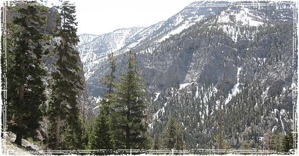
The trail Starts at a pretty easy pace as you stroll through some Ponderosa and Aspen pine trees.
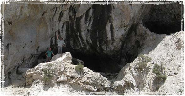
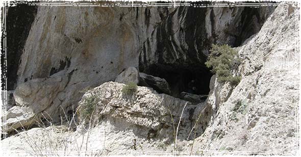
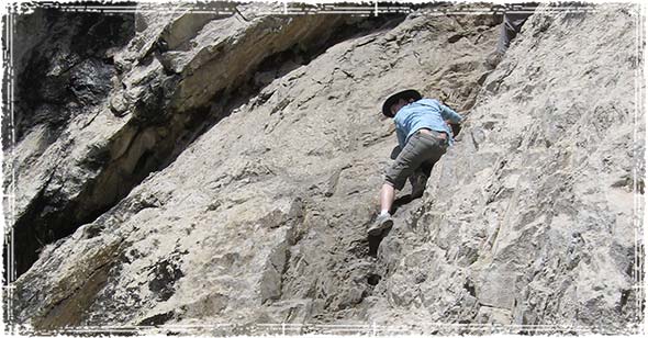
The trail leads into a pretty large canyon with some awesome views. Once into the trail you will see two routes; one that is blocked off, which is the old trail that leads to the big falls, and the main route which winds back and forth up the side of the mountain. Take the switchbacks all the way up to the Mary Jane Falls.
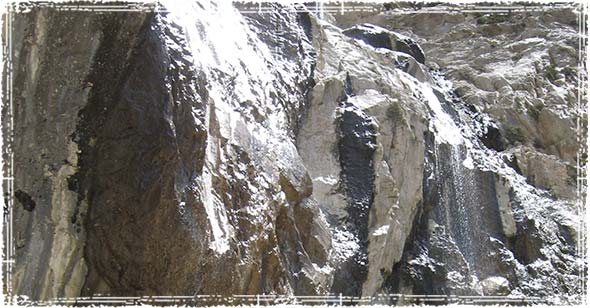
When you reach the water fall, you will have awesome views of the valley below.
Pictures:


My wife does not want to go what do i do?
We just took my 2 year old son and he hiked all the way to the top. It is very easy ans a lot of fun.
Heading up there tomorrow morning. So excited! Can’t wait. It will be my first hike since moving to Vegas.
When I was here with my unborn child, the waterfall was huge.
What time of the year was it, Kim?